Antarctic Peninsula in December 2006
Between December 19 and 28 of 2006 my mom, Marjean, and I traveled by the ship, Akademik Shokalskiy, from Ushuaia Argentina to the Antarctic Peninsula and back.
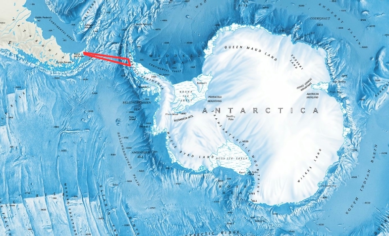
To get your bearings here is a map of the continent of Antarctica along with the southern portion of the continent of South America. The red line is the route we took.
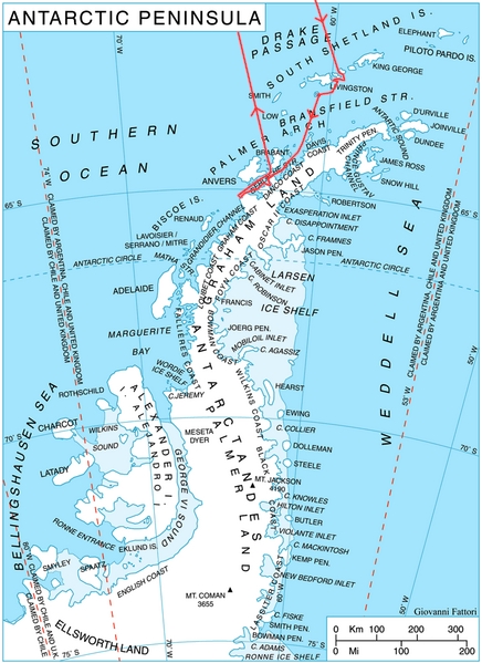
And here is a map of the Antarctic Peninsula with the red line showing the route we took.
Here is a quick narrative of our trip along with some of the pictures we
took. Please click on any picture to see it at a larger size. The port of
Ushuaia 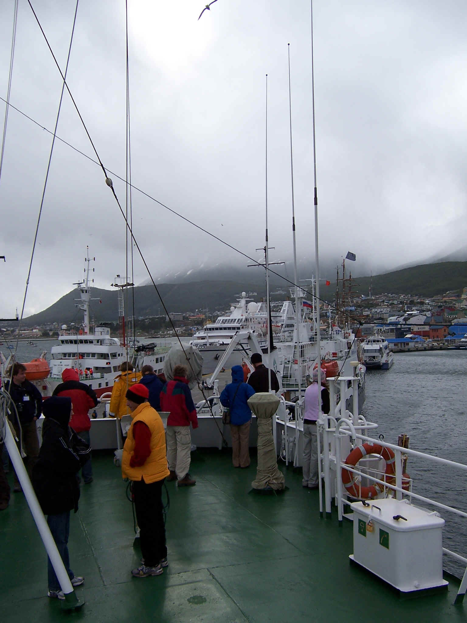 is the base for a number of ships which
take passengers to Antarctica. We first spotted Table Island
is the base for a number of ships which
take passengers to Antarctica. We first spotted Table Island 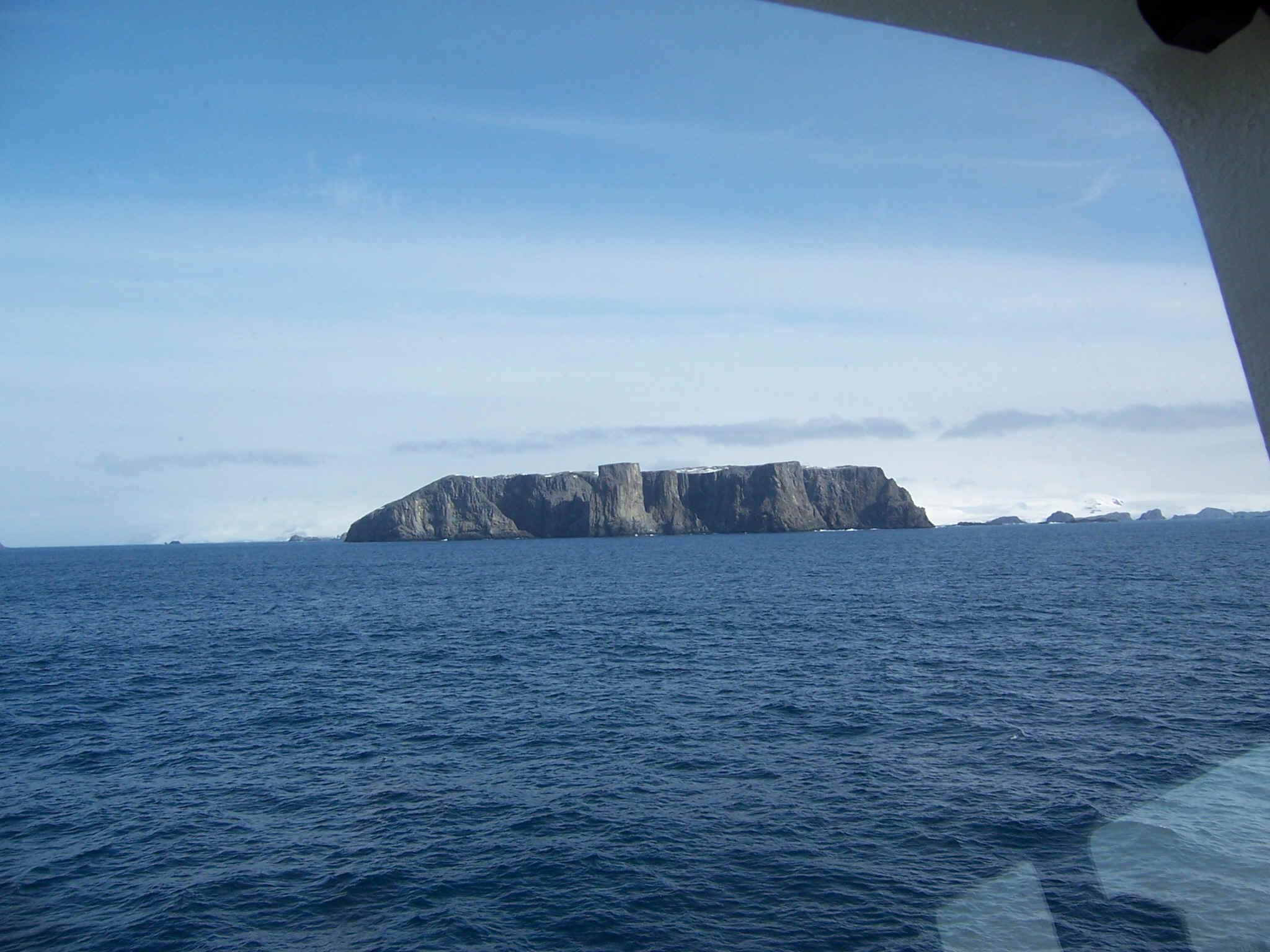 which is part of the South Shetland
Islands. Our first landing was at Yankee Harbor on Greenwich Island, also part of
the South Shetland Islands where we saw our first of many penguins to come
including this Chinstrap.
which is part of the South Shetland
Islands. Our first landing was at Yankee Harbor on Greenwich Island, also part of
the South Shetland Islands where we saw our first of many penguins to come
including this Chinstrap. 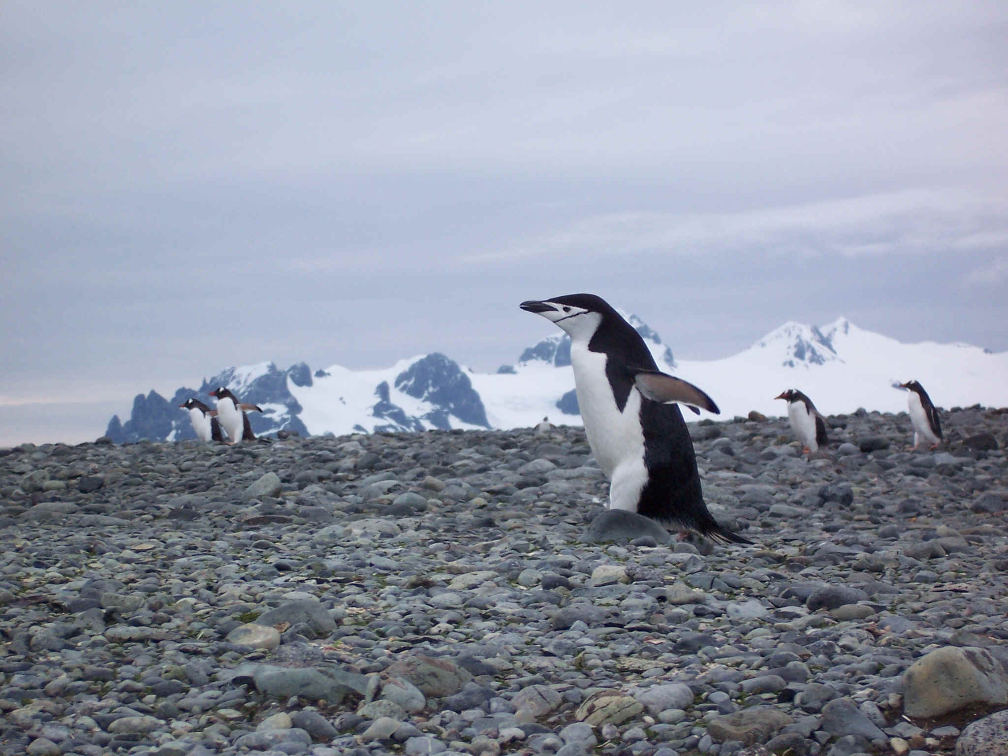 .
While anchored in Half Moon Bay off Livingston Island I too this picture
.
While anchored in Half Moon Bay off Livingston Island I too this picture 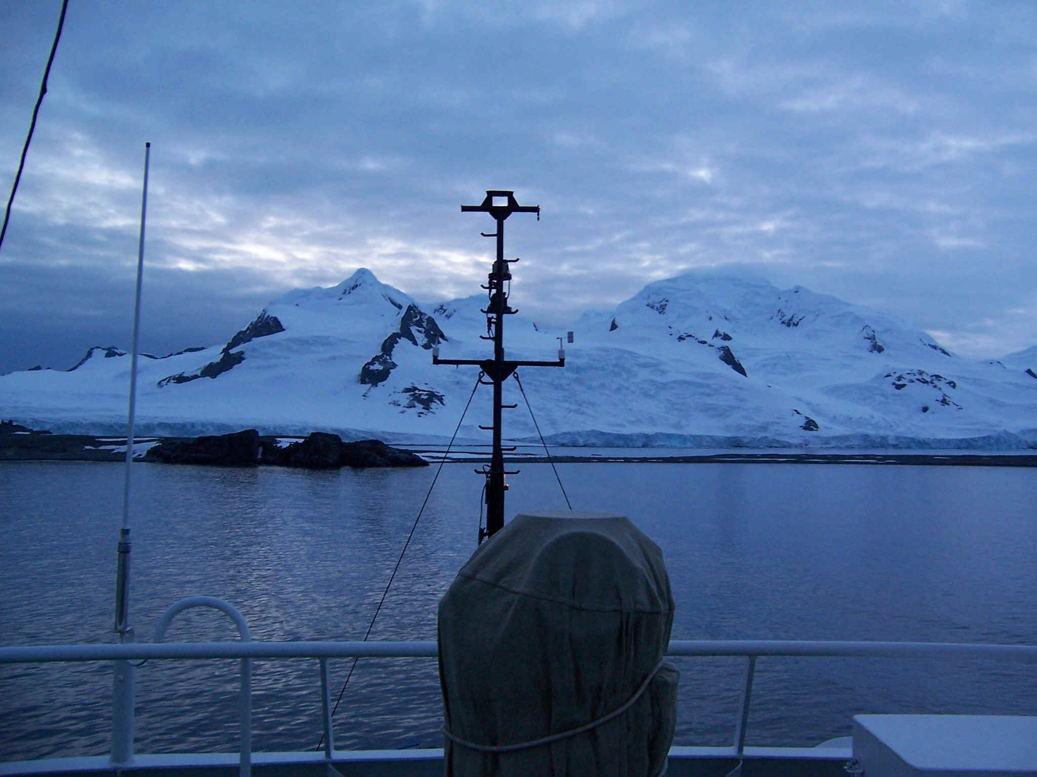 at MIDNIGHT on the
summer solstice. I could not get over how daylight it was. Next we went to Deception Island,
at MIDNIGHT on the
summer solstice. I could not get over how daylight it was. Next we went to Deception Island, 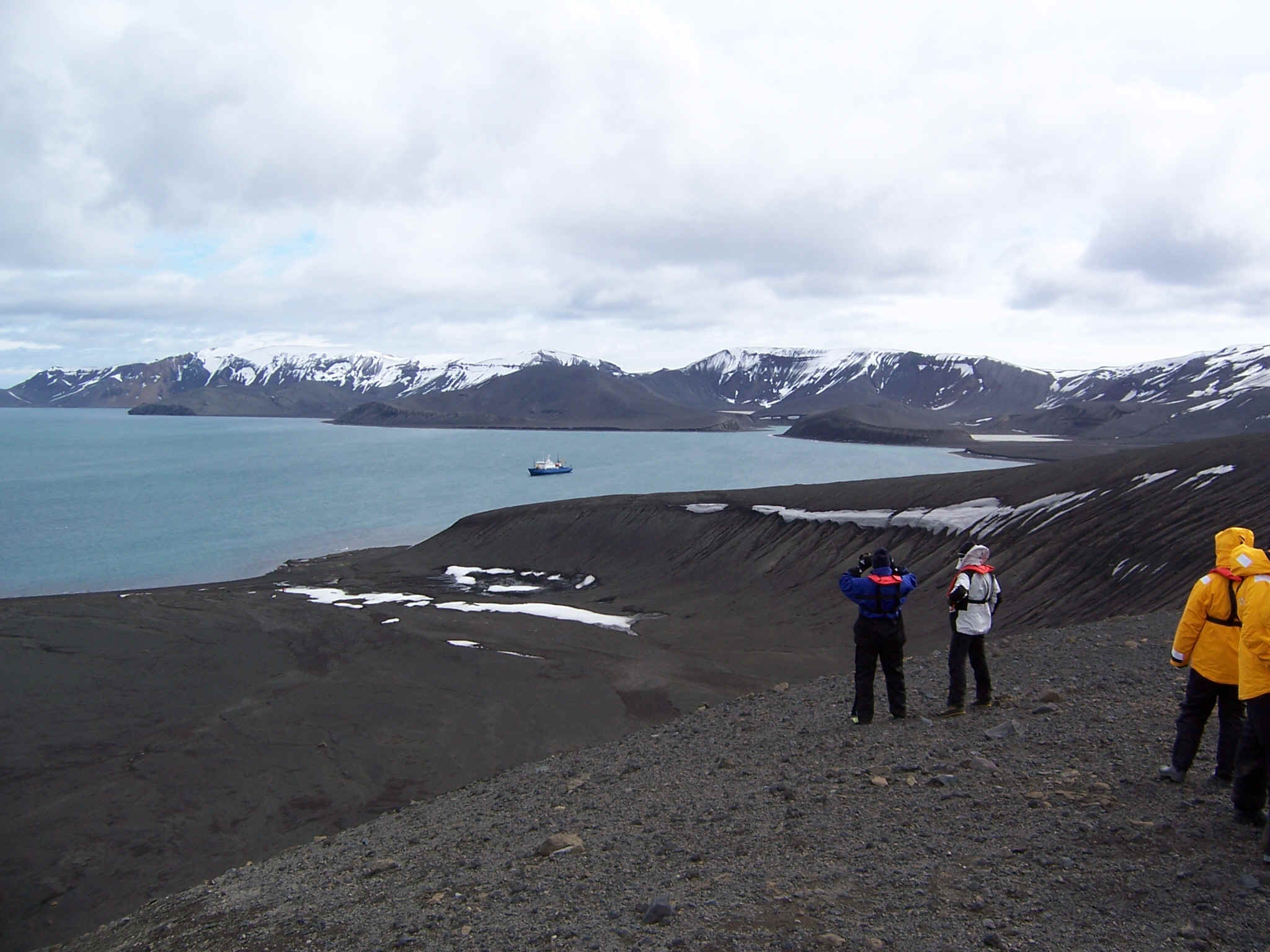 which is a huge caldera. We
then went on the Paradise Bay where we cruised amongst the icebergs
which is a huge caldera. We
then went on the Paradise Bay where we cruised amongst the icebergs 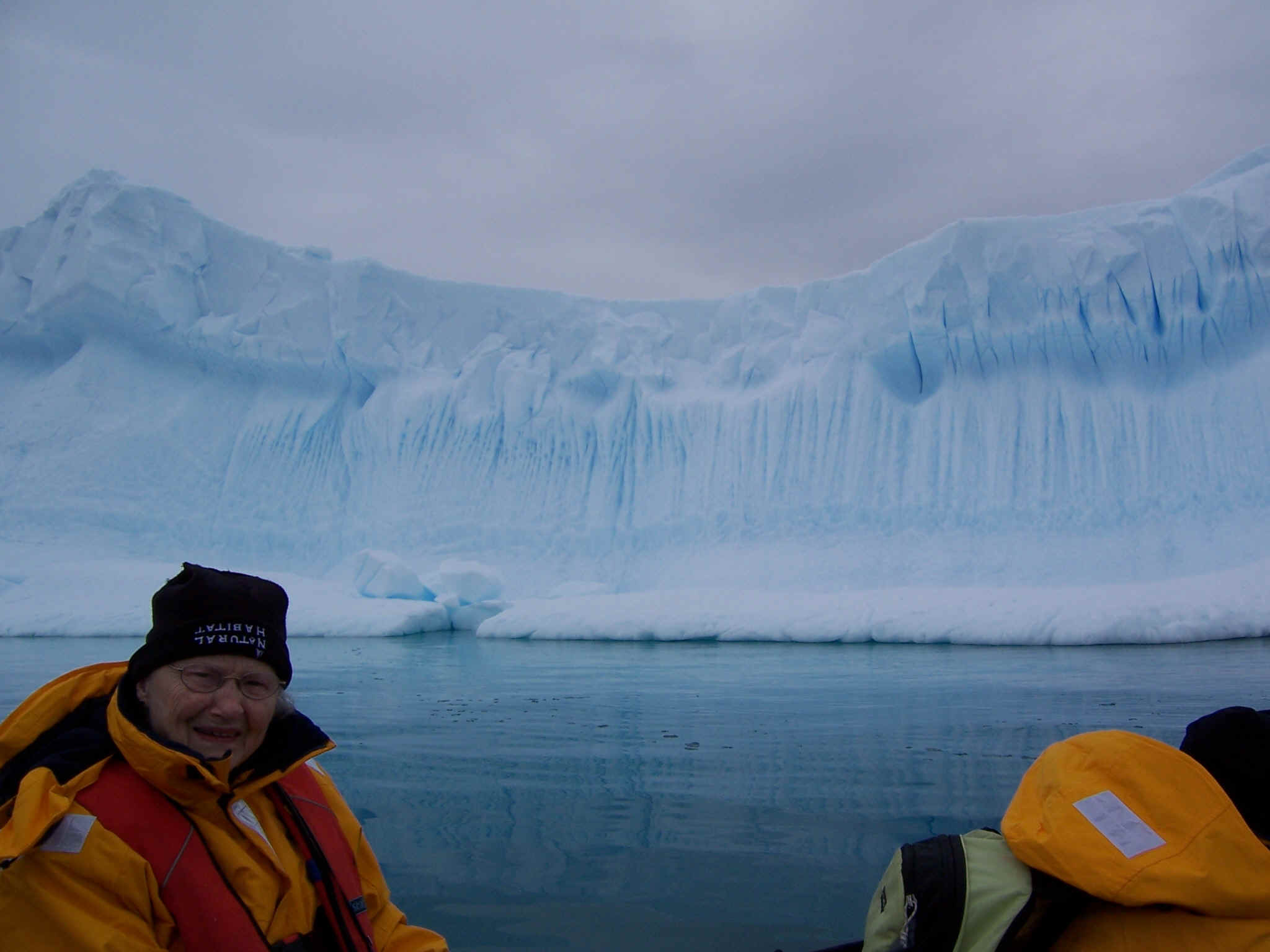 and enjoyed the fantastic
and amazing scenery
and enjoyed the fantastic
and amazing scenery 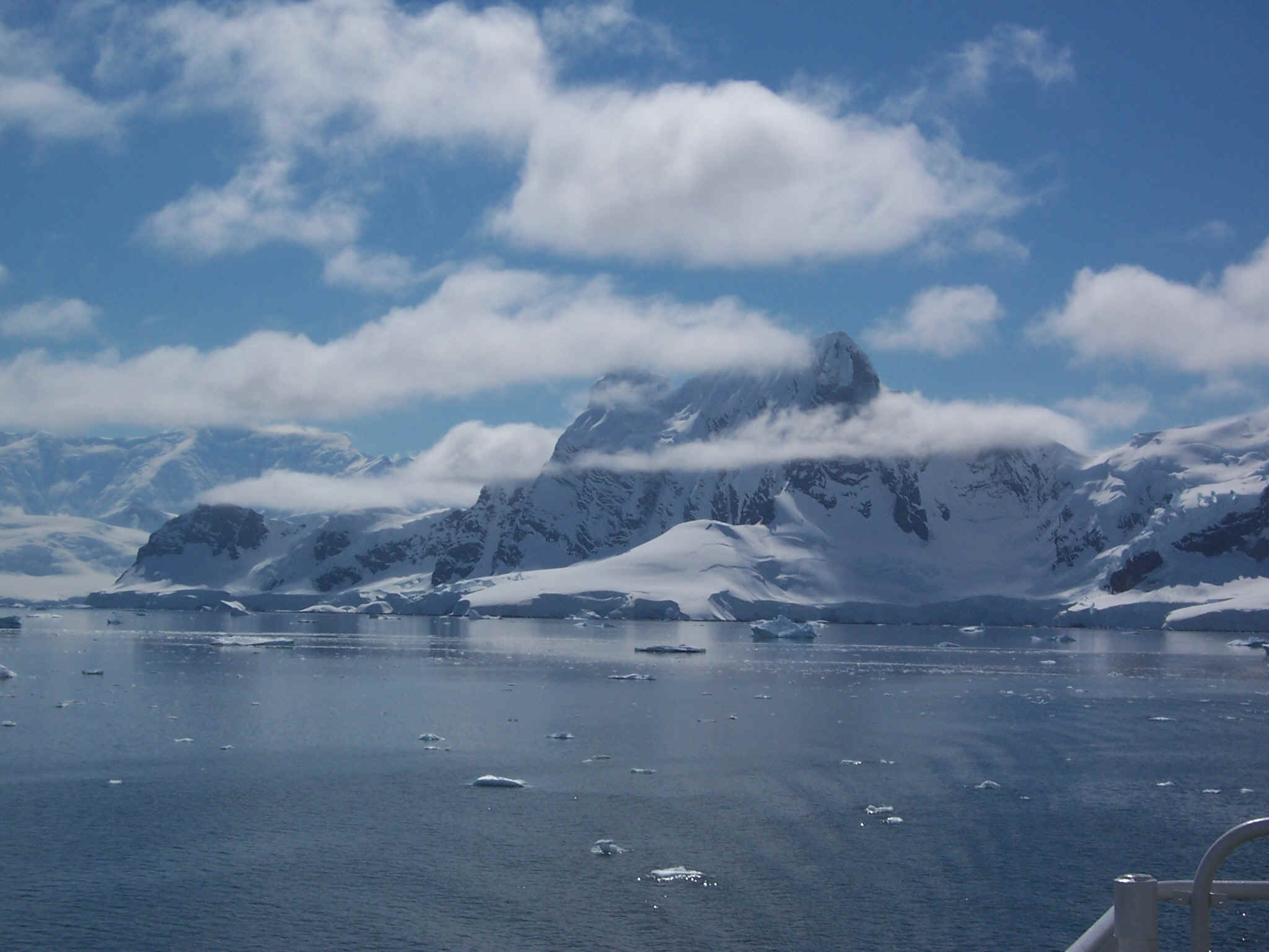 .
Moss and lichen
.
Moss and lichen 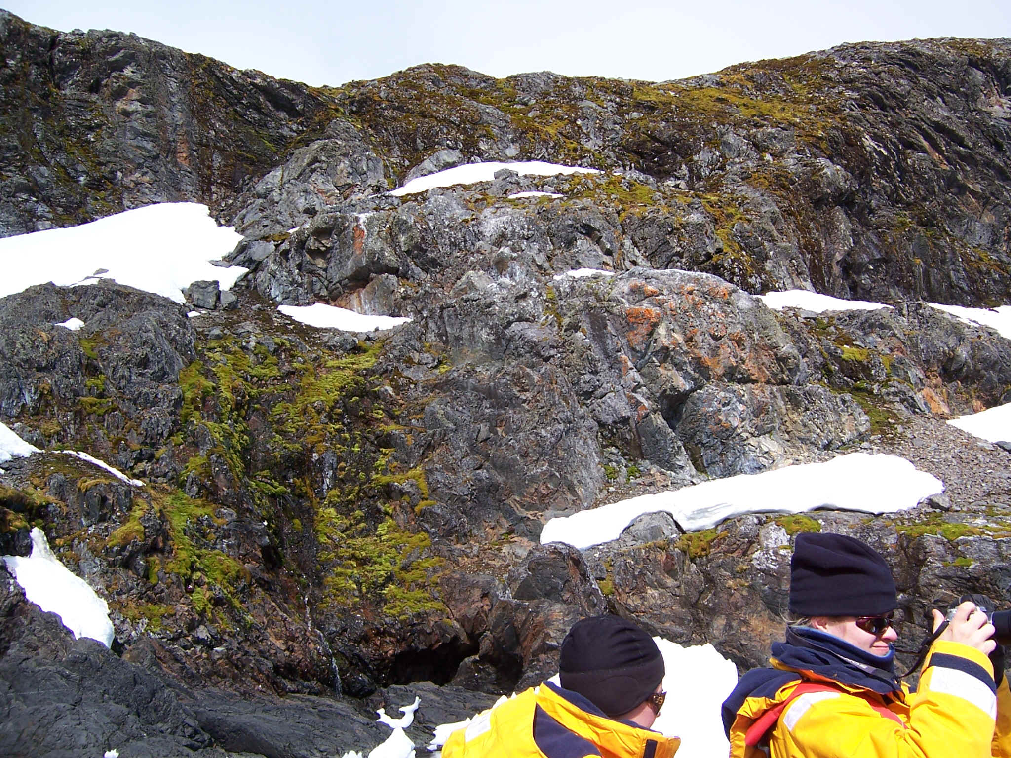 are the only forms of terrestrial
life one can see. Tom climbed a mountain
are the only forms of terrestrial
life one can see. Tom climbed a mountain 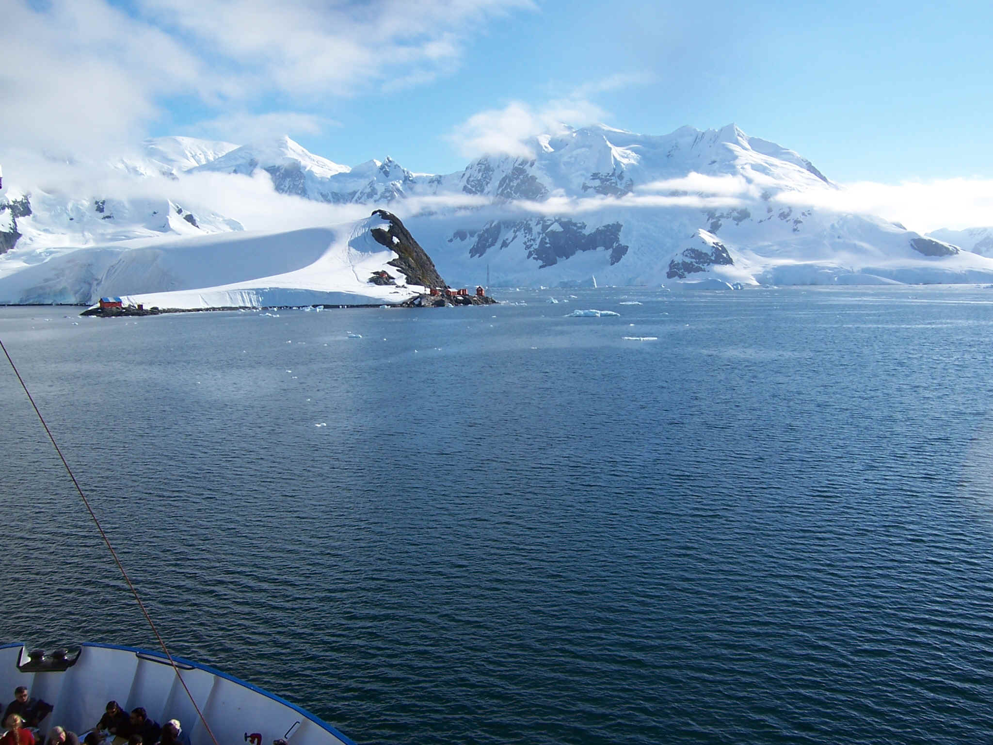 at the scientific station of
Almirante Brown and took this picture
at the scientific station of
Almirante Brown and took this picture 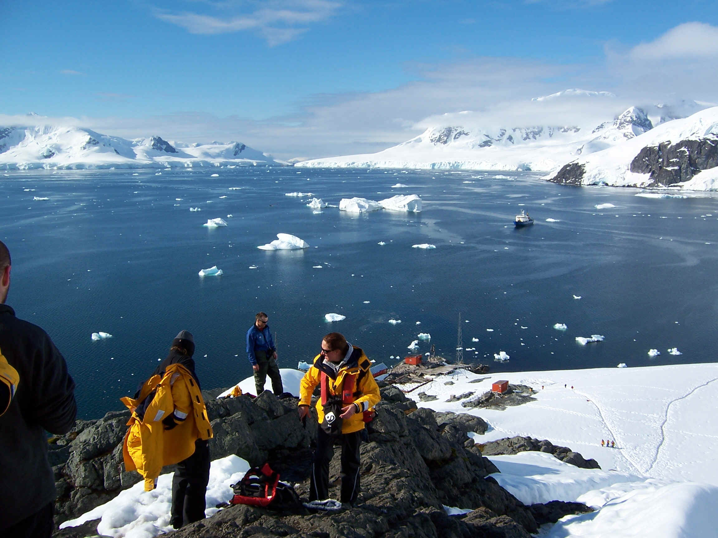 before sliding
back down. The food aboard ship was very good including this fantastic
barbecue
before sliding
back down. The food aboard ship was very good including this fantastic
barbecue 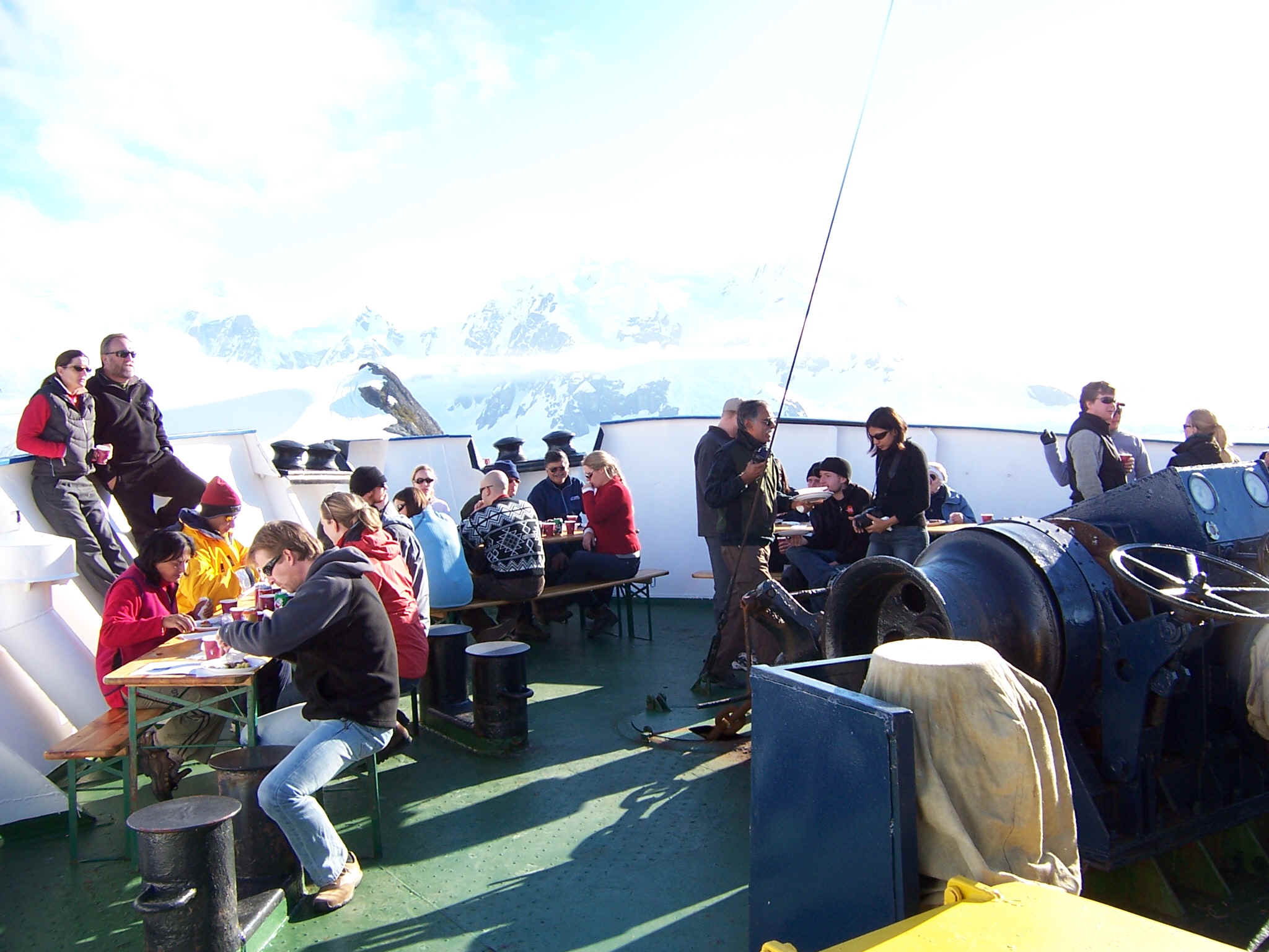 we enjoyed on the bow deck of the
ship. It was sunny enough to get our picture taken
we enjoyed on the bow deck of the
ship. It was sunny enough to get our picture taken 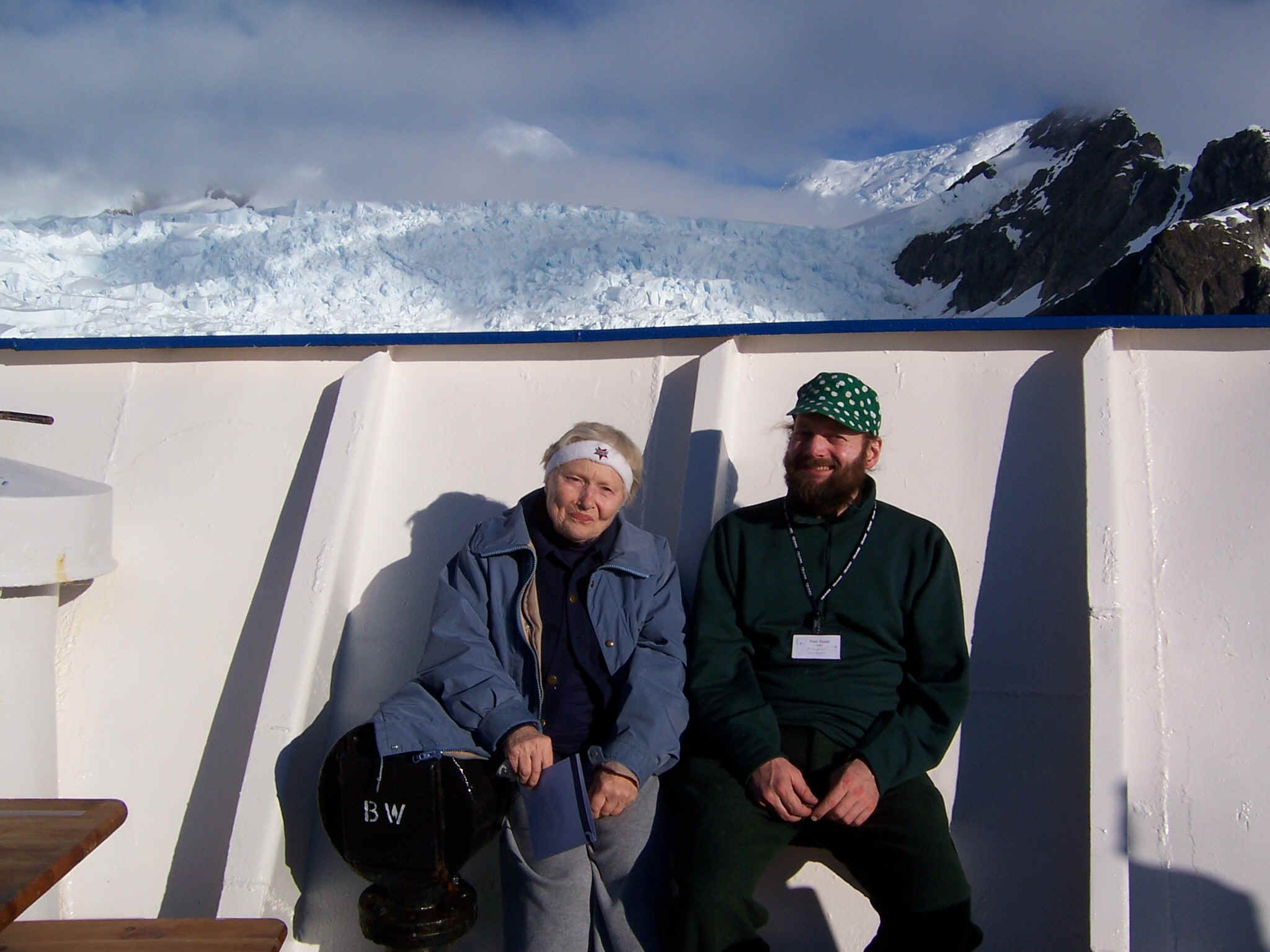 . We then enjoyed more of the
view
. We then enjoyed more of the
view  and cruised down the narrow Lemaire
Channel
and cruised down the narrow Lemaire
Channel  before arriving at our furthest
southern point (65o10.624 degrees south at Petermann Island
before arriving at our furthest
southern point (65o10.624 degrees south at Petermann Island 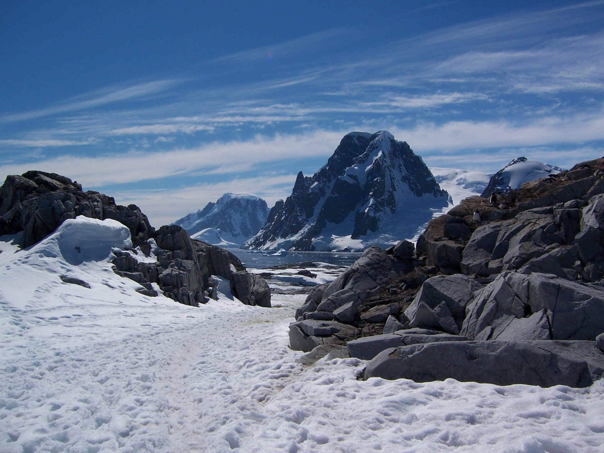 . We had another great meal
for Christmas Diner
. We had another great meal
for Christmas Diner 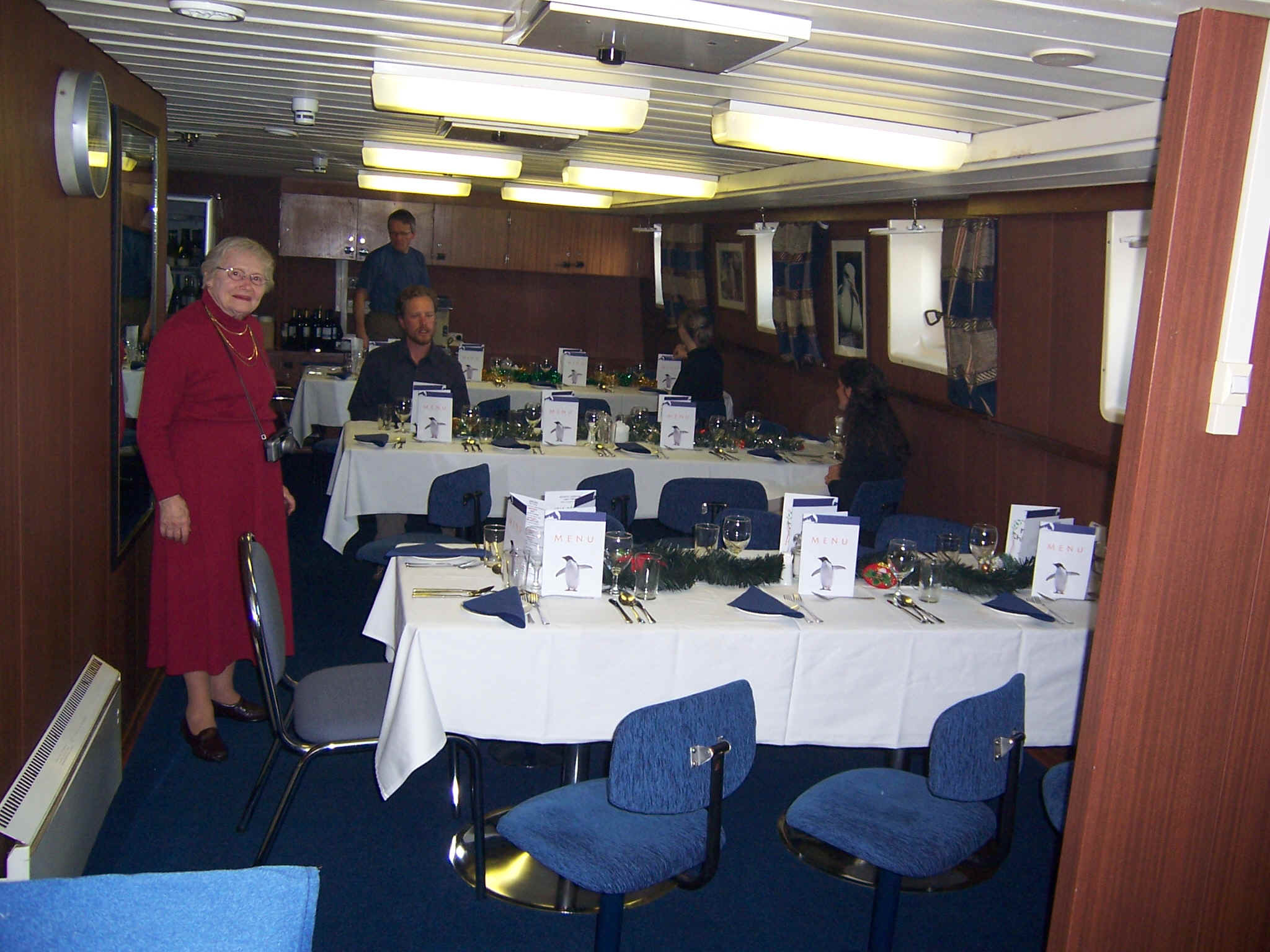 and got to visit historic Port Lockroy
 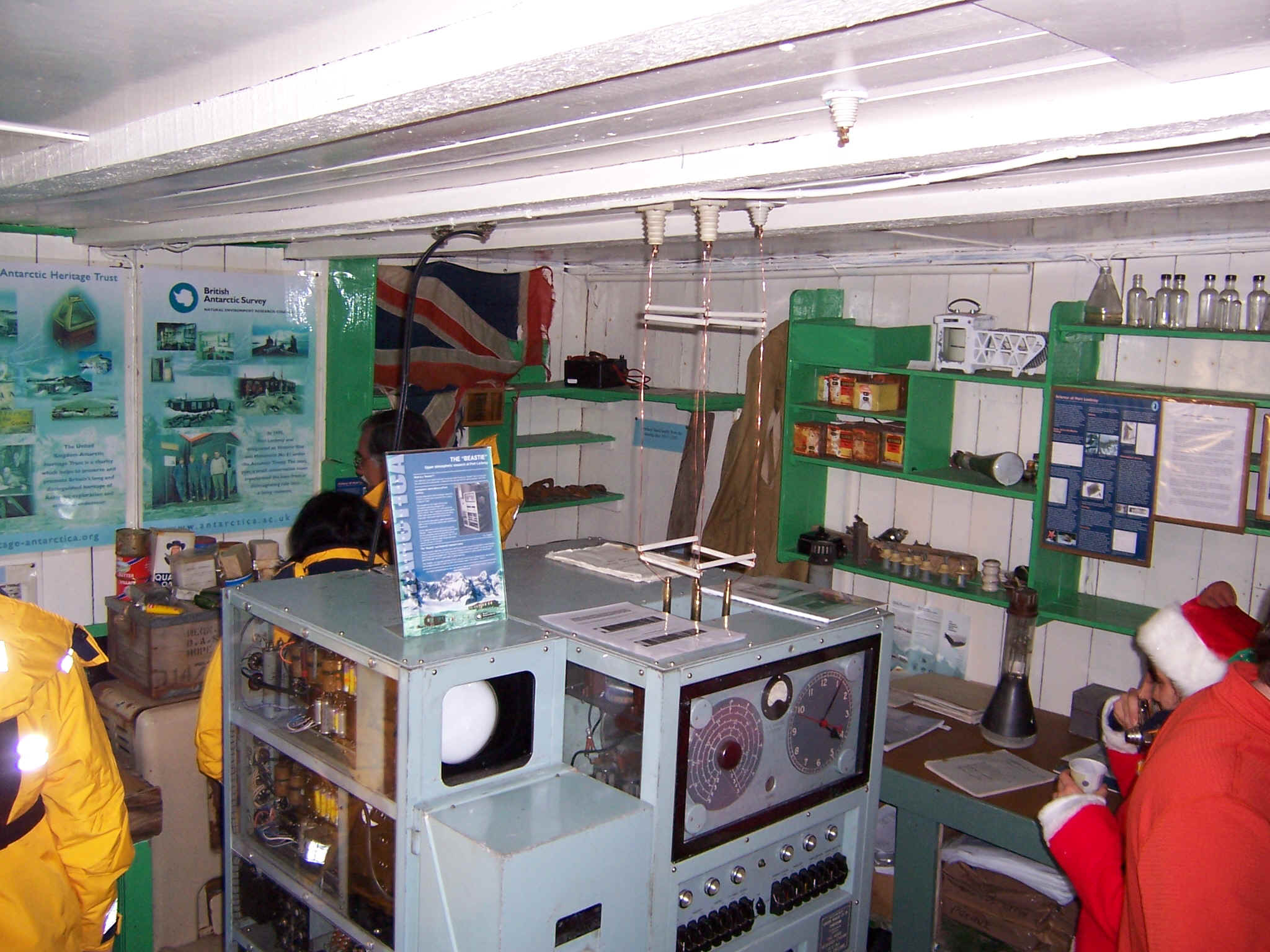 from where we mailed many friends
postcards before saying goodnight to the penguins
from where we mailed many friends
postcards before saying goodnight to the penguins 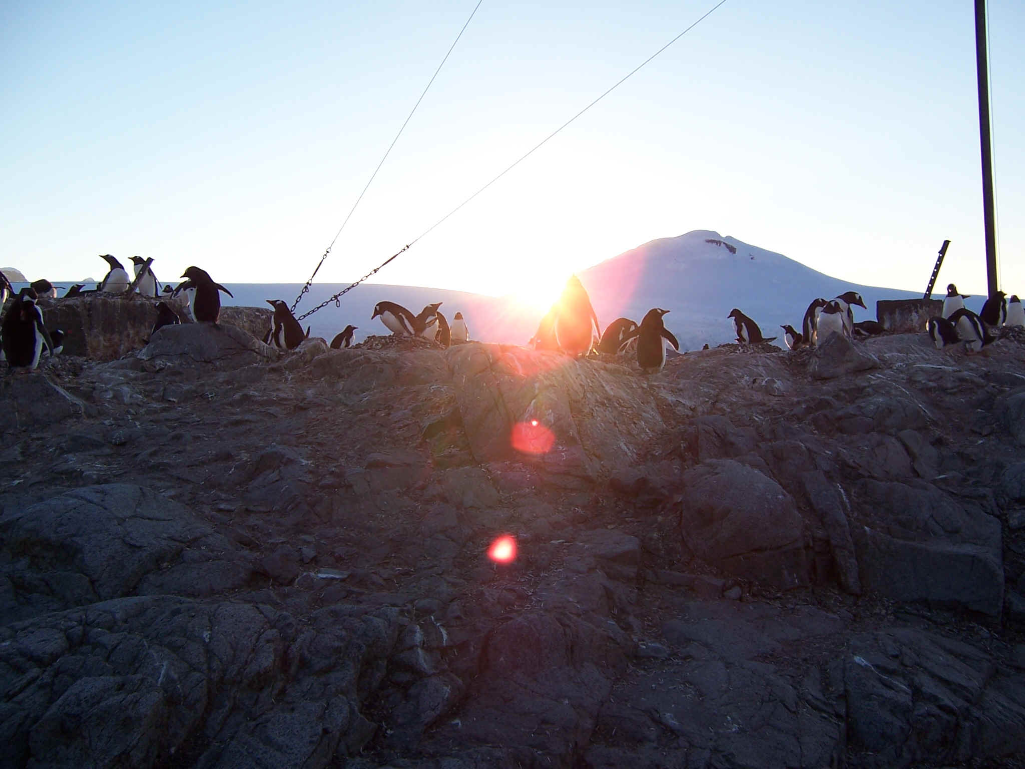 returning to Ushuaia.
This page was last updated on February 14, 2007 by me TomGood@EcologicalArchitecture.com and was found at http://ecologicarchitecture.com/TomGood/